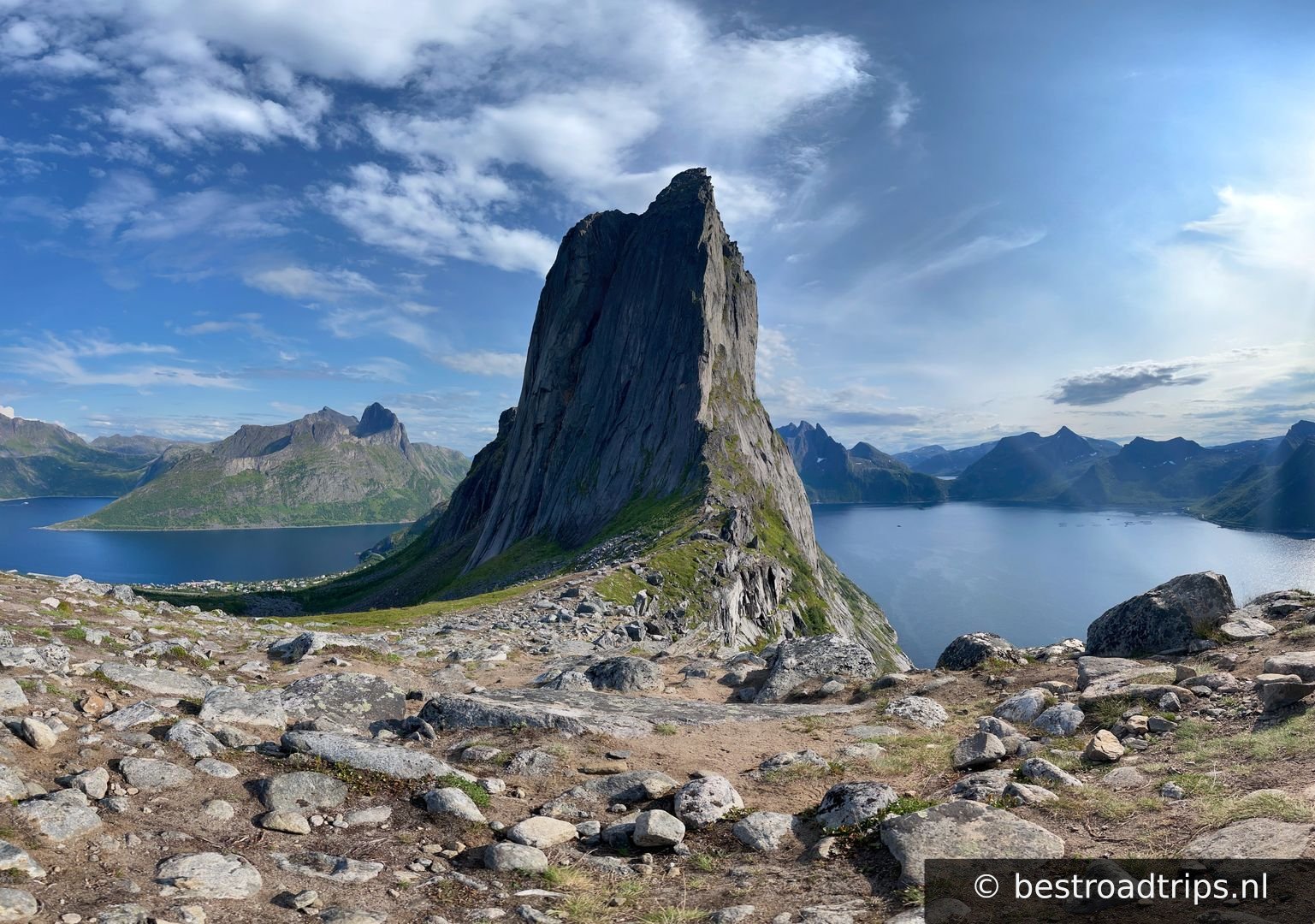
Route

Lofoten

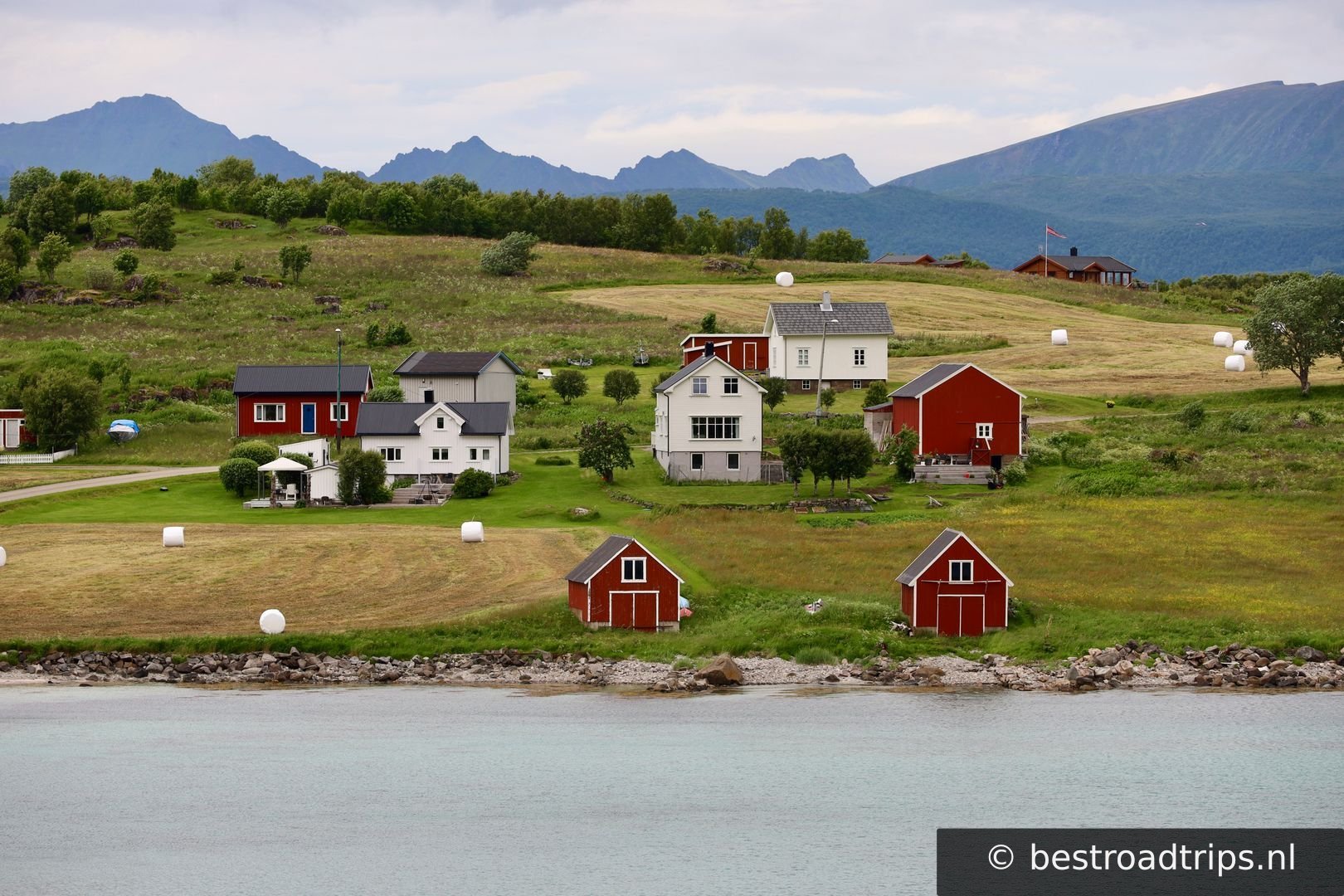
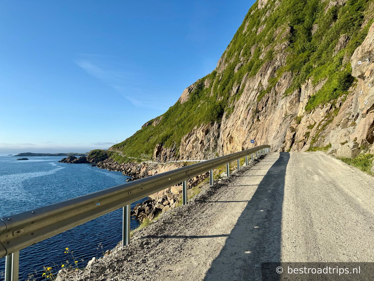
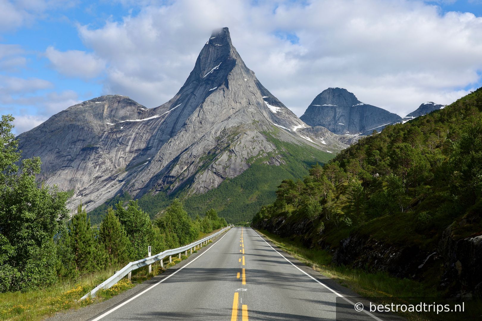
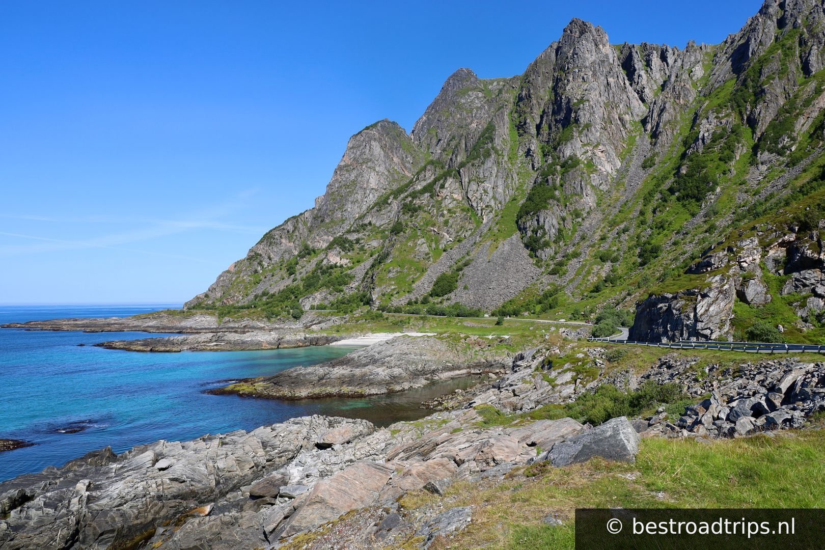
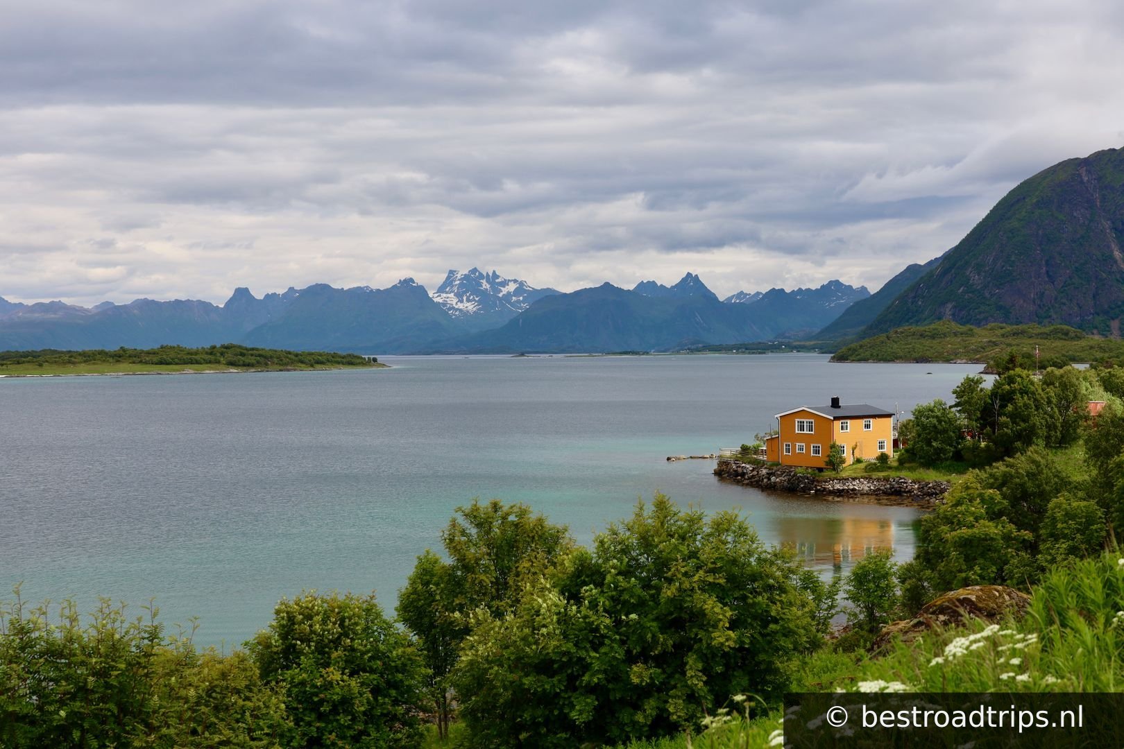
Lofoten (English: /ˈloʊfoʊtən, loʊˈfoʊtən/ LOH-foh-tən, loh-FOH-tən, Norwegian: [ˈlùːfuːtn̩]; Lule Sami: Lufoahtta; Northern Sami: Lufuohttá)[1] is an archipelago and a traditional district in the county of Nordland, Norway.

Country🇳🇴 Norway
Duration🕐 3
Distance📍 230 km
Road quality🟡 Good
Crowd level🔴 Busy
Website🌐 Visit
Expert rating
5— Aboslute stunning!

About this route

Norwegian Scenic Route Lofoten runs from Raftsundet to Å [E10] with detours to Grunnfør [7638], Henningsvær [816], Eggum [7724], Unstad [7720], Utakleiv [7606] [7716], Vikten [7600] and Nusfjord [7596]. You can avoid using ferries here by driving on [E10]. However in several places ferries offer an alternative route. The link leads to maps of ferry routes, click on the ferry icon in the map for timetables.

By travelling with the Hurtigruten coastal express, ferries and Euroroute 6 you can combine this stretch of road with other Norwegian Scenic Routes. You can avoid using ferries here by driving on Euroroute 10. However in several places ferries offer an alternative route. To the south, ferries operate on the section from Bodø - Moskenes, Svolvær - Skutvik and Bognes - Lødingen. To the north a ferry will take you from Melbu to Fiskebøl.

For cyclists: Car traffic can be quite challenging in high season. It may be a good idea to choose alternative routes such as County Road [888] from Fiskebøl to Austnesfjorden, or County Road [815] from Sundklakkstraumen to Leknes. Use the local bike ferry between Nusfjord and Ballstad to avoid the Nappstraum tunnel. Book your ticket at ballstadgutt.no. Norwegian Scenic Route Lofoten is part of National Cycle Route 1, which runs along the entire coast of Norway. From Bergen to Nordkapp the route also coincides with EuroVelo 1 «Atlantic Coast Route». The route is signposted.
My notes

I tried to put all the spots on the map but this route has so many good spots to drive and to take pictures. I can highly recommend this photo guide: https://www.shuttersafari.com/complete-guide-to-photography-in-lofoten

Stops along the way

1
📍

Start/End

68.4563°N, 15.2040°EClick to zoom on map →
2
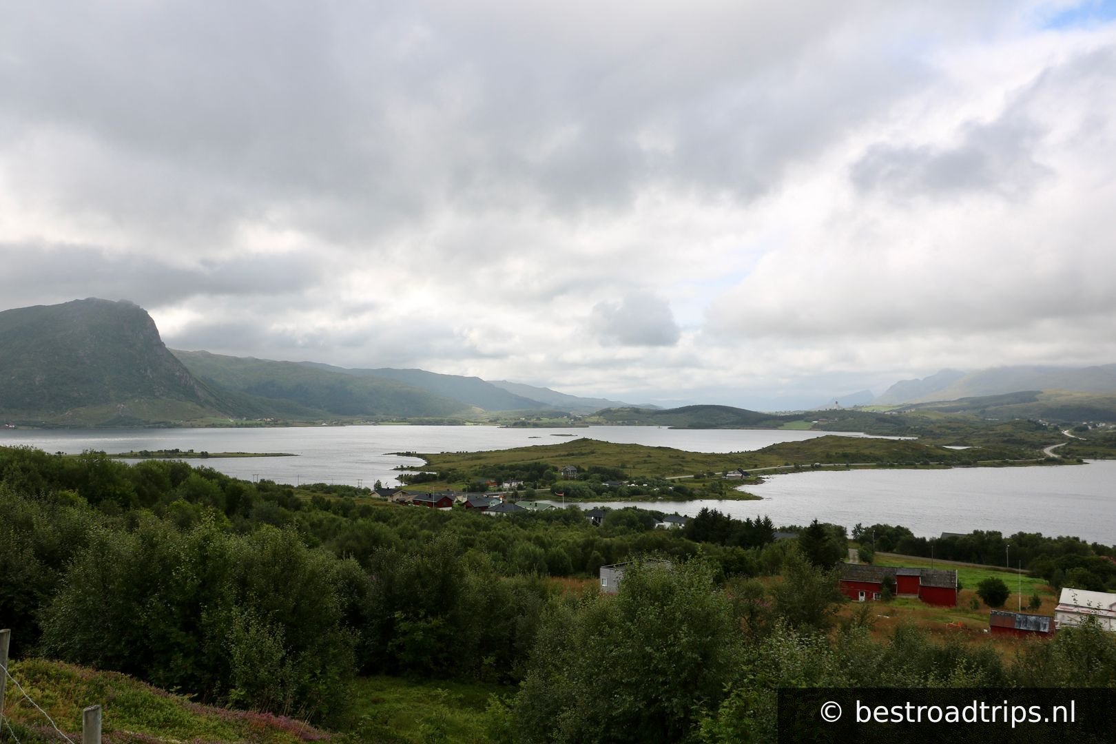
Nice view

Nice view

🅿️ Parking
68.4474°N, 14.9006°EClick to zoom on map →
3
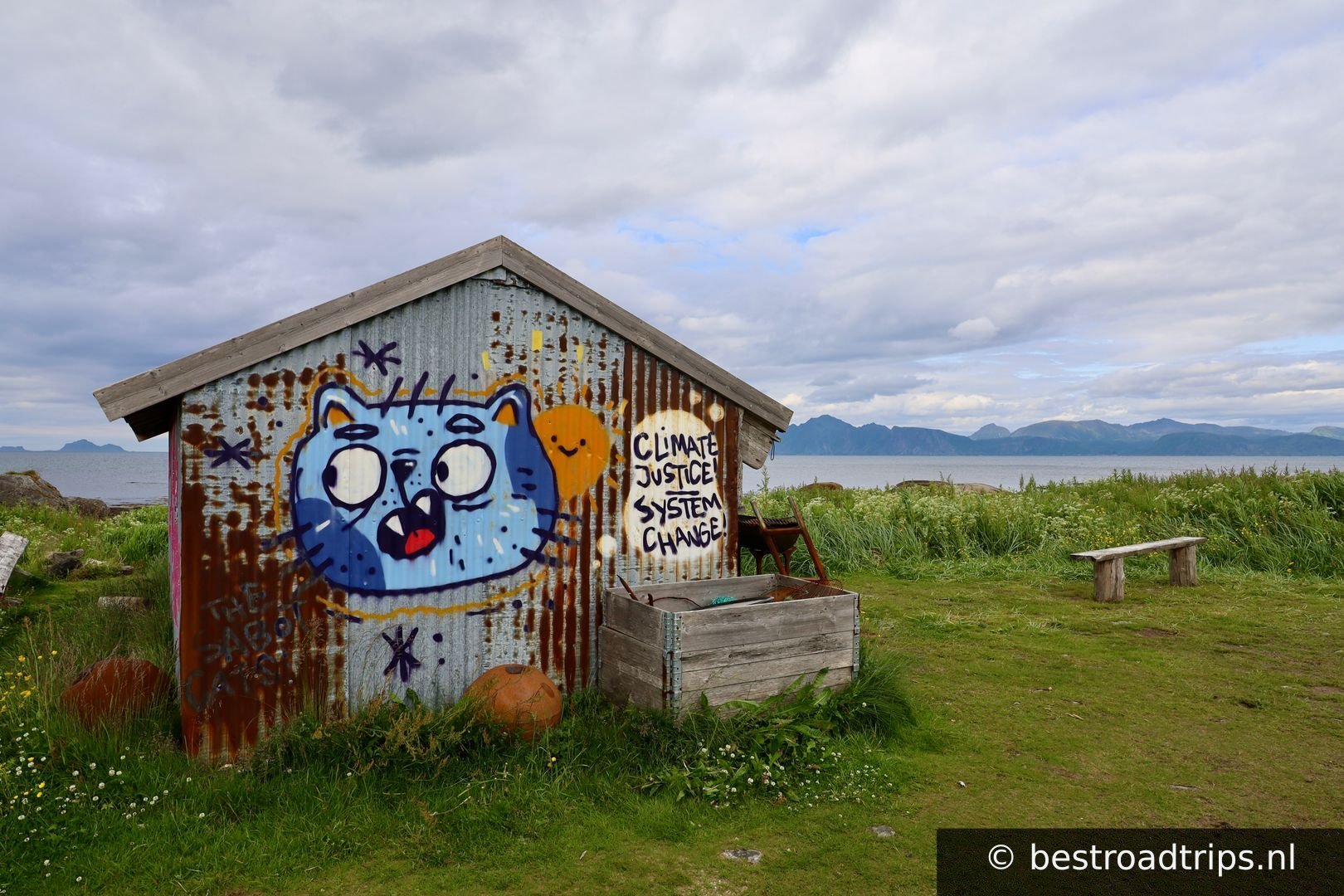
Grunnnfør

Grunnnfør

🅿️ Parking

Nice grafitti

68.4257°N, 14.5878°EClick to zoom on map →
4
Midnattsolveien

Midnattsolveien

🅿️ Parking

Not part of the official scenic route but its worth driving it. The name is a reference to the midnight sun.

68.3757°N, 14.4621°EClick to zoom on map →
5
📍

68.3248°N, 14.6874°EClick to zoom on map →
6
📍

68.4238°N, 14.8370°EClick to zoom on map →
7
📍

Svolvær

🚻 Restroom🅿️ Parking

A hub for the Lofoten.

68.2355°N, 14.5606°EClick to zoom on map →
8
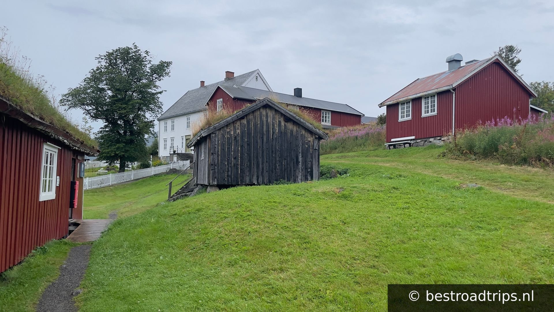
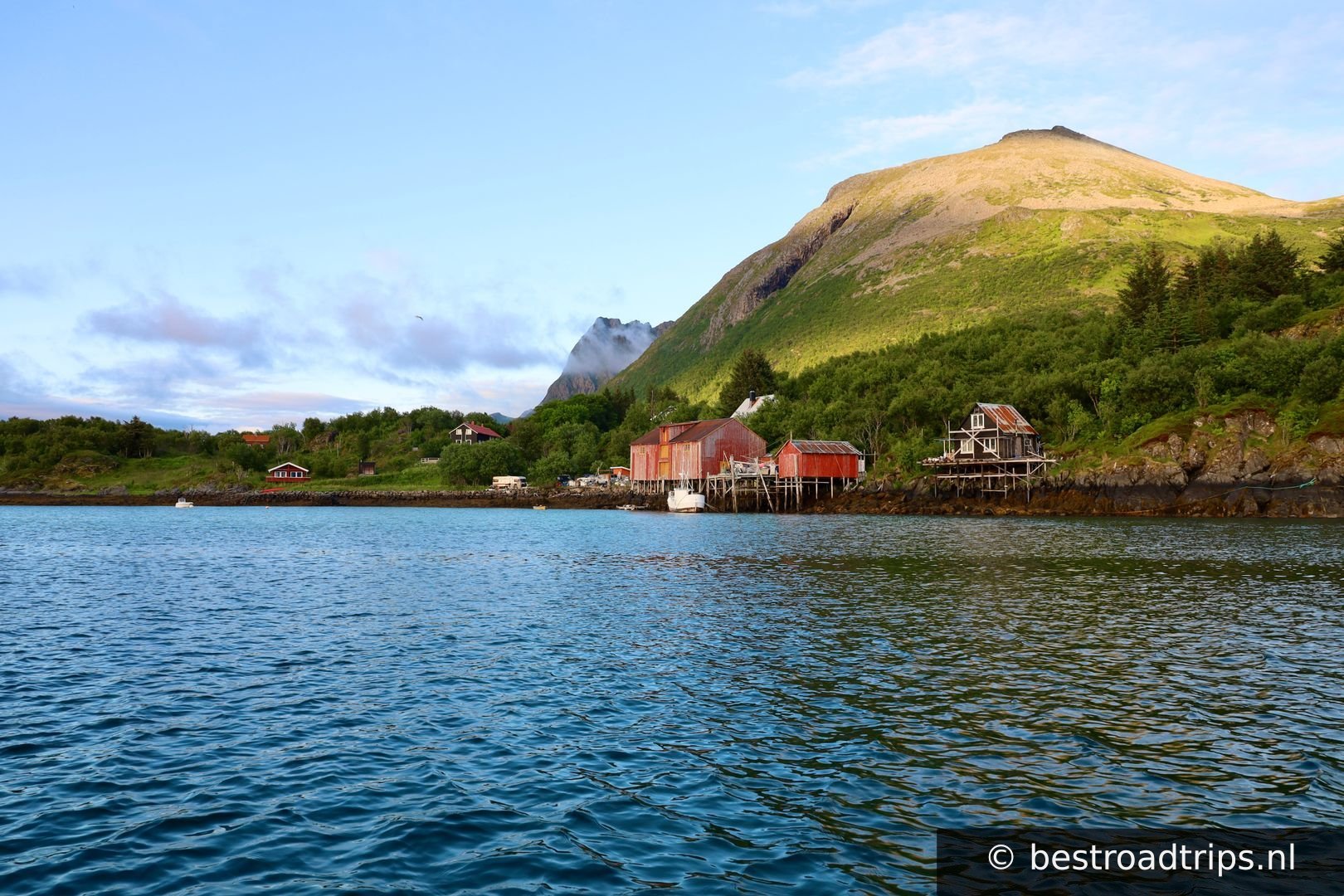
Kabelvåg

Kabelvåg

🚻 Restroom🅿️ Parking

There is a hub with 3 attractions located. You can get a combi ticket for the museum, gallery and aquarium.
68.2079°N, 14.4509°EClick to zoom on map →
9
Henningsvær

Henningsvær

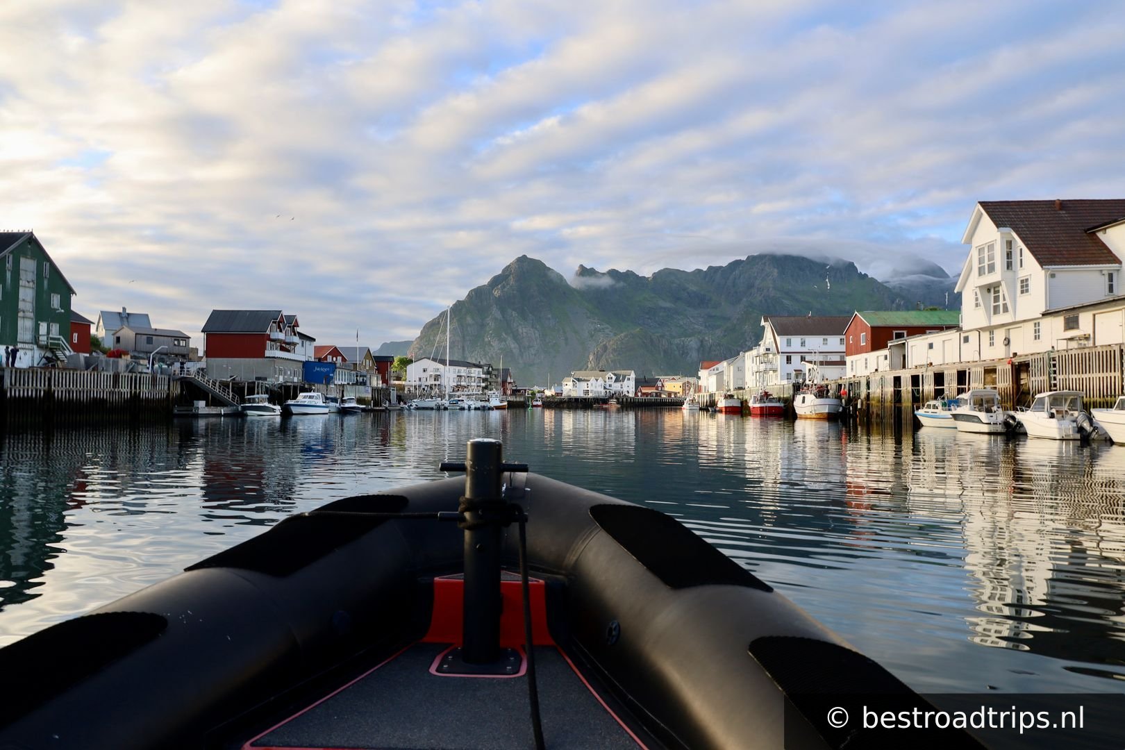
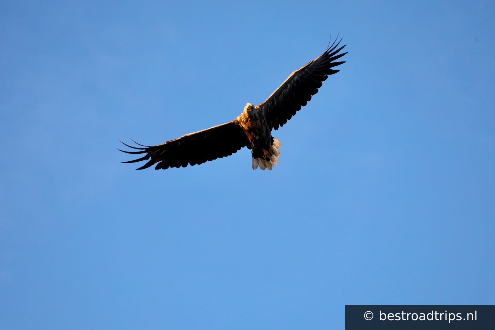
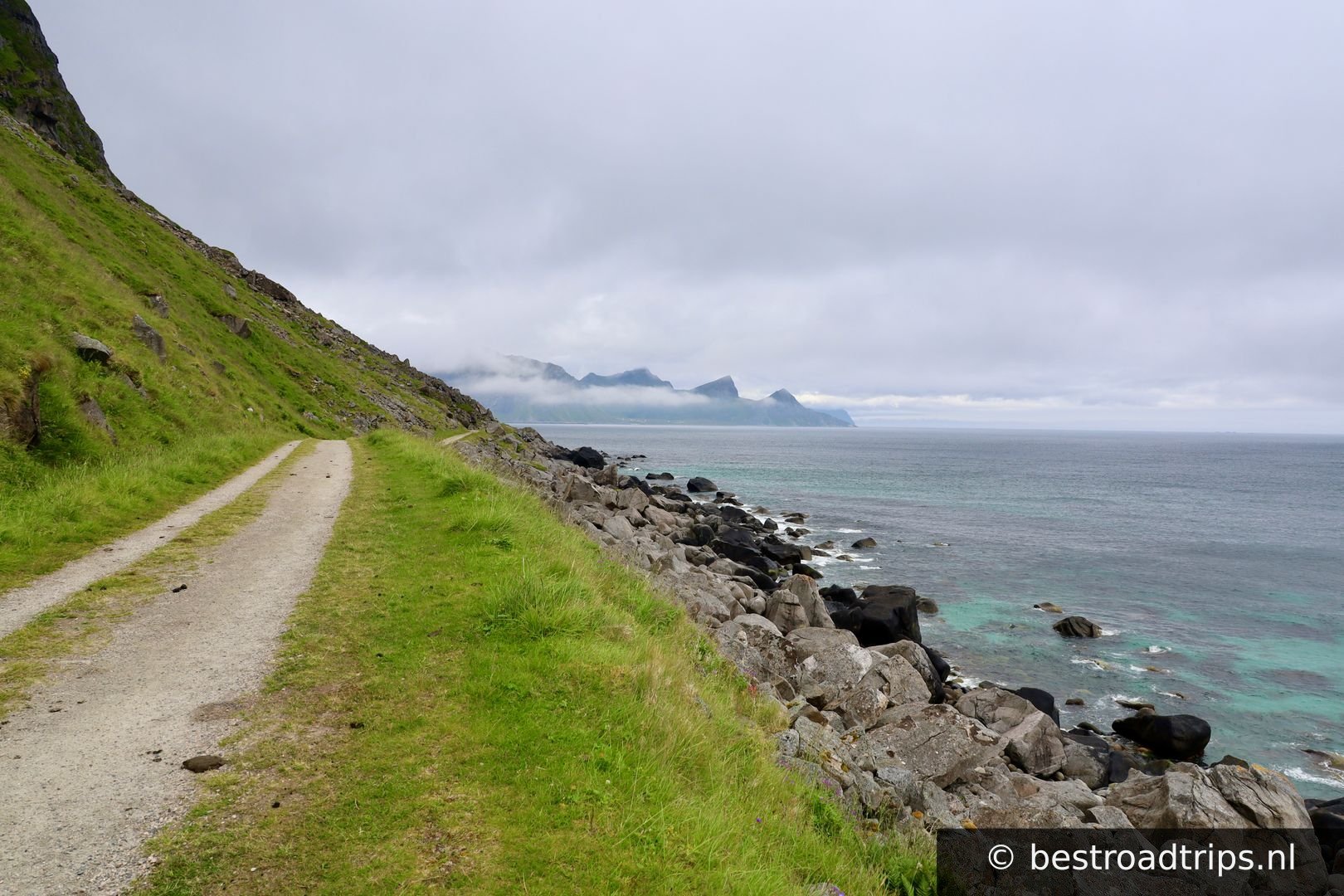
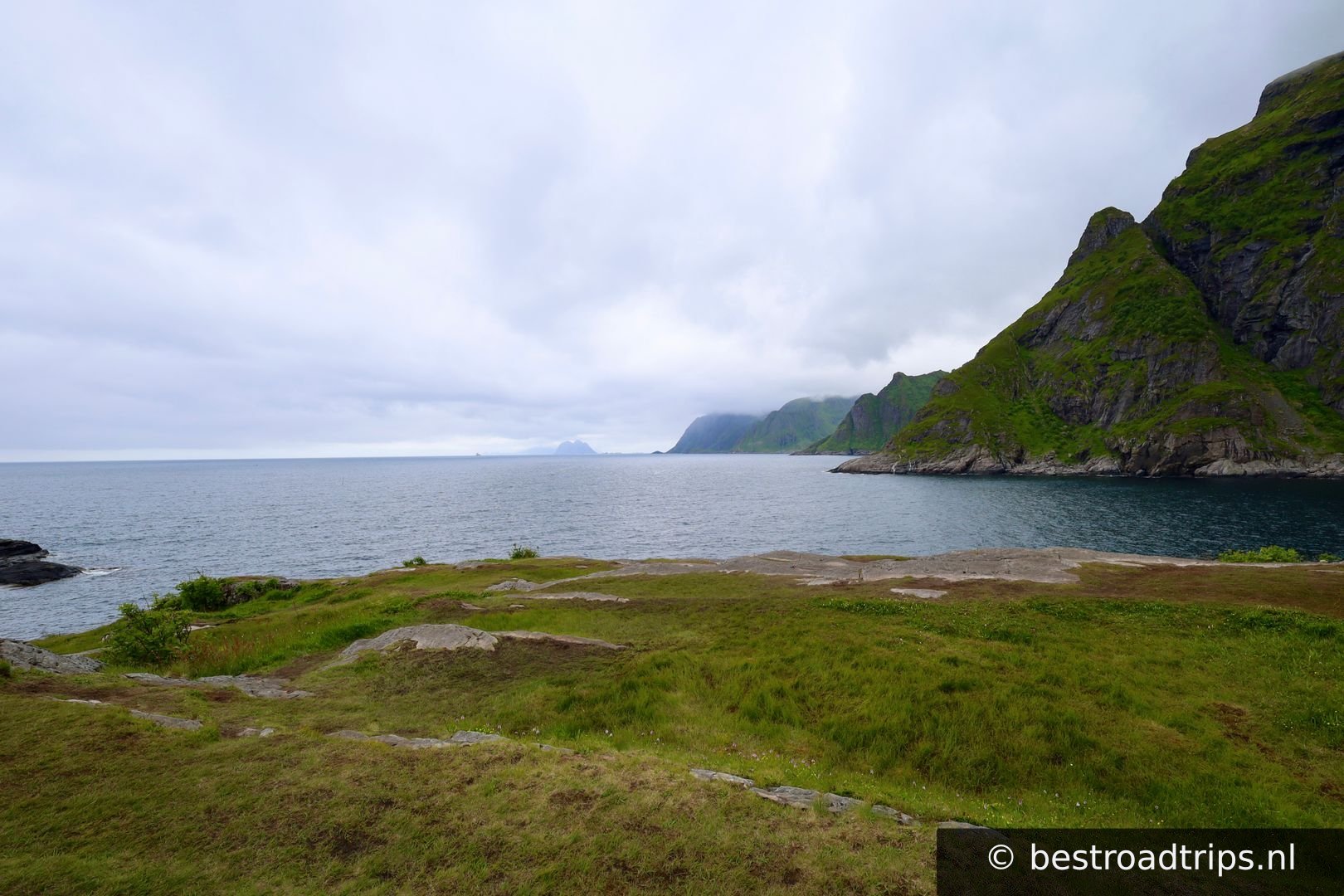
Well known for the football field on an island. I can highly recommend the Midnight sun tour on the boat. Sea eagles, dolphins, seals and amazing scenery.
68.1571°N, 14.2110°EClick to zoom on map →
10
Gimsøystraumen

Gimsøystraumen

🚻 Restroom🅿️ Parking

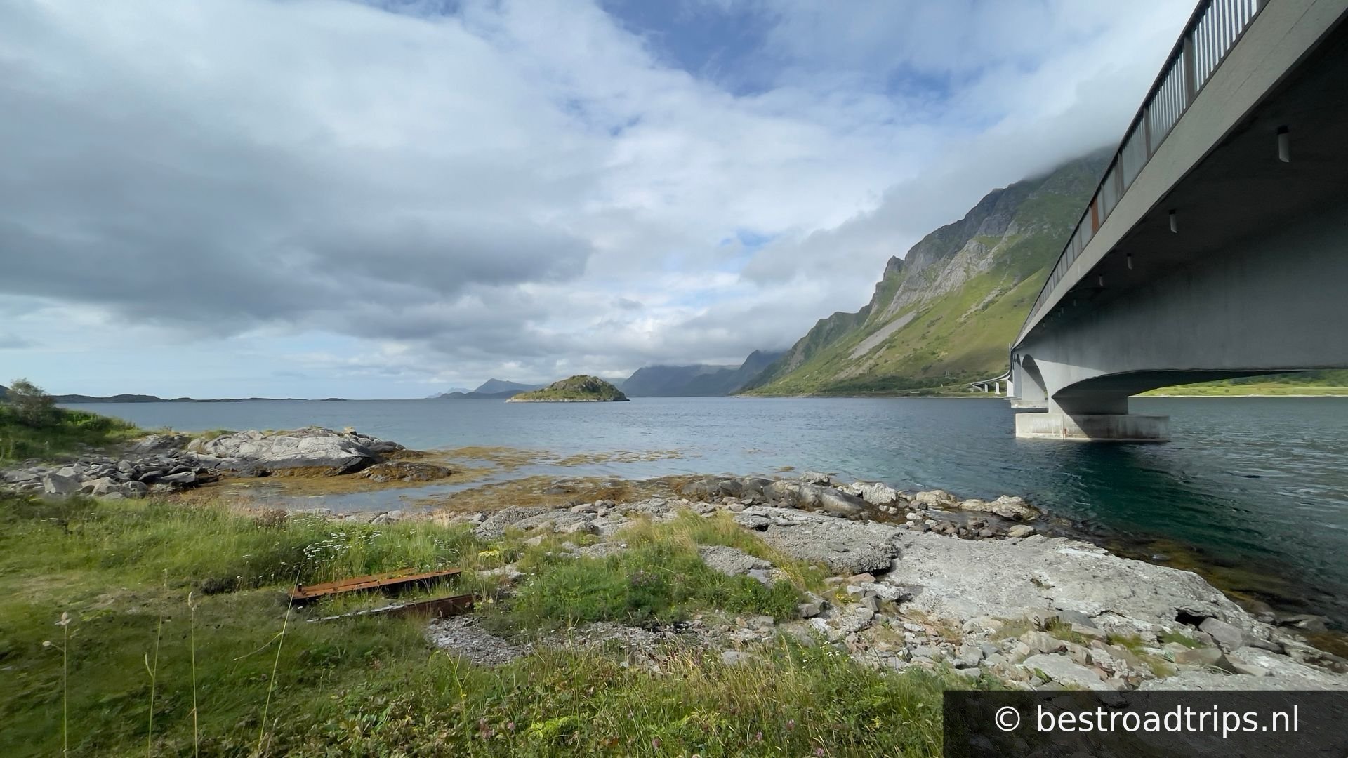
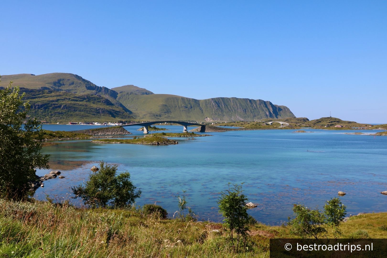
A nice bridge and place to stop.

68.2608°N, 14.2675°EClick to zoom on map →
11
Gimsøy kirke

Gimsøy kirke

🅿️ Parking

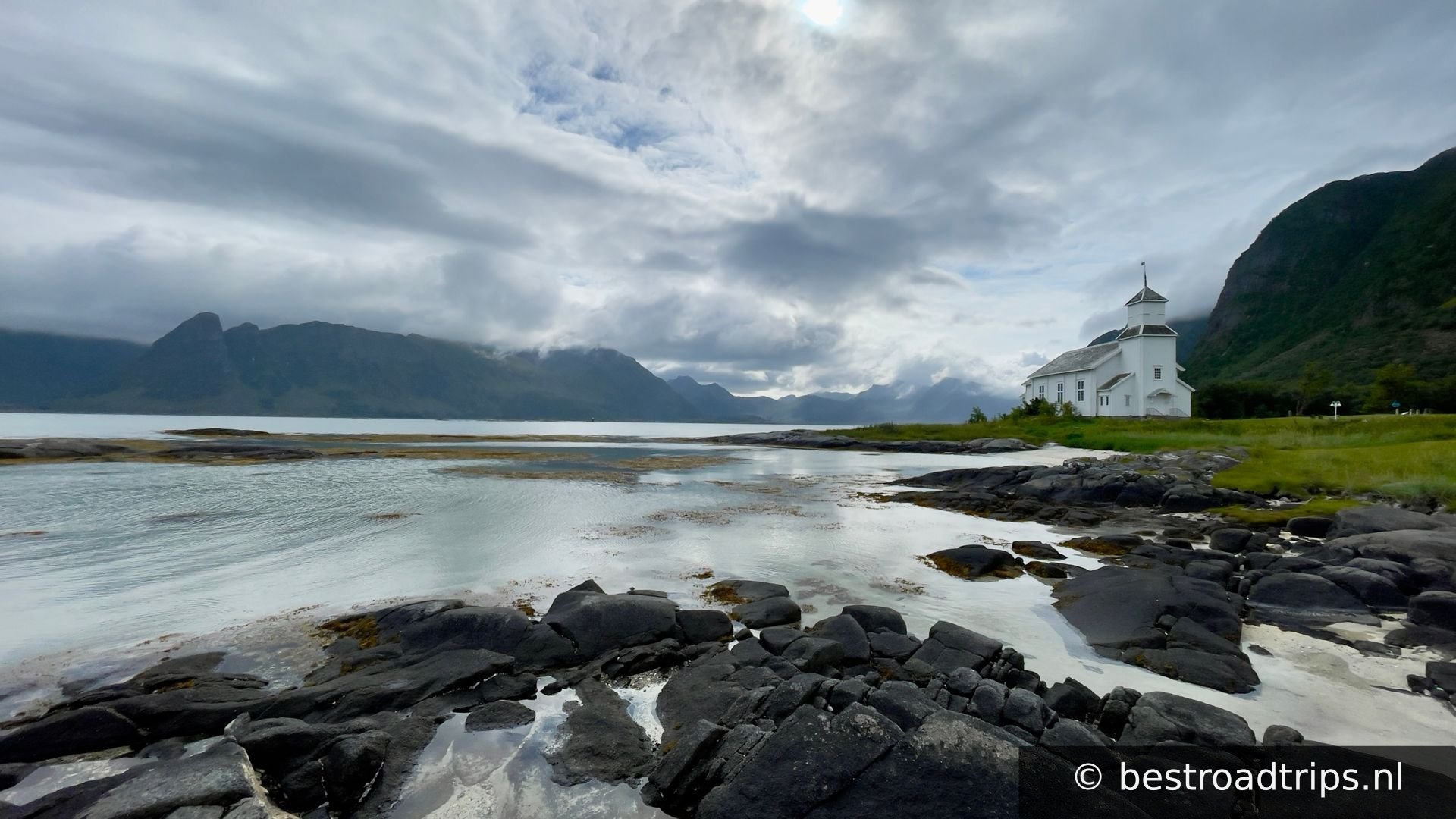
A very nice church close to the sea.

68.3211°N, 14.2403°EClick to zoom on map →
12
📍

68.3294°N, 14.0932°EClick to zoom on map →
13
Stamsund

Stamsund

🅿️ Parking

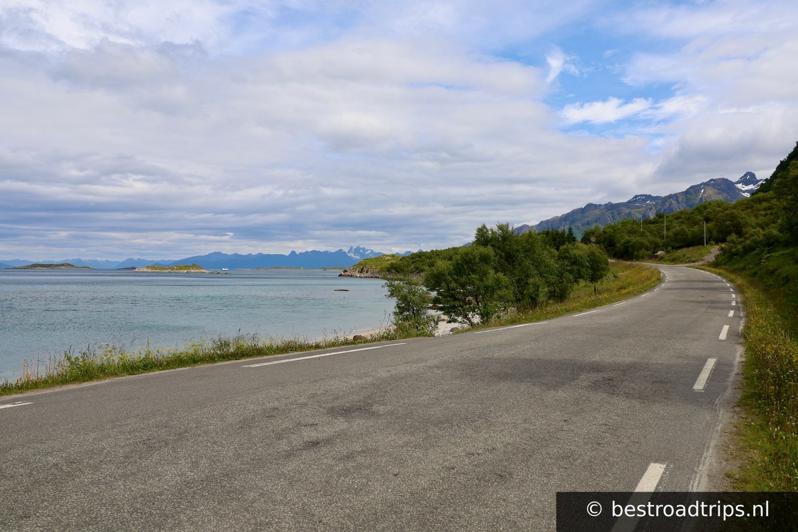
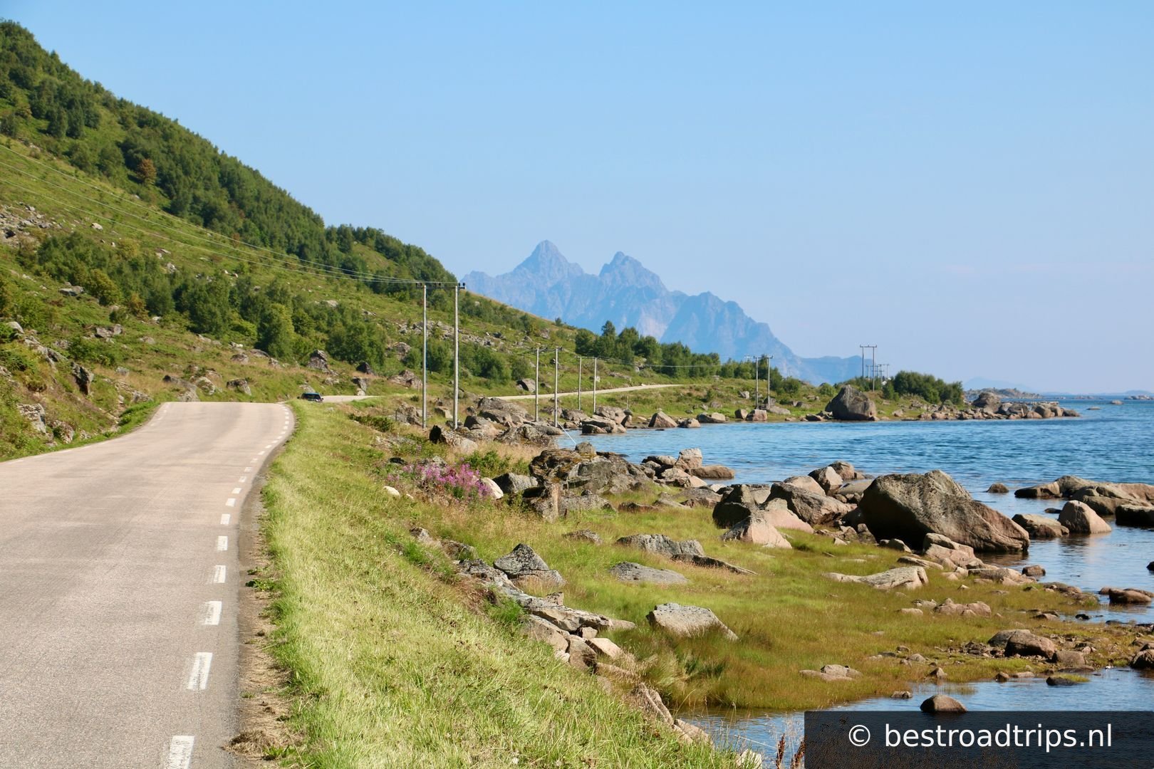
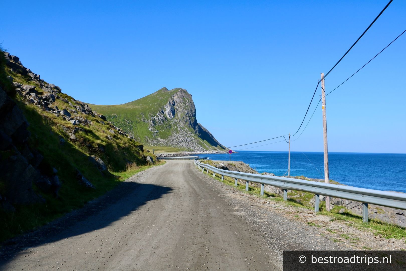
The road around this part of the Lofoten are amazing and not very busy.

68.1231°N, 13.8461°EClick to zoom on map →
14
Ure

Ure

🚻 Restroom🅿️ Parking

has a salmon museum, restaurant and very nice lodging. If you want an amazing spot then i highly recommend this place. https://www.urelodge.no/?lang=en

68.0958°N, 13.7249°EClick to zoom on map →
15
Gravendal kirke

Gravendal kirke

🅿️ Parking

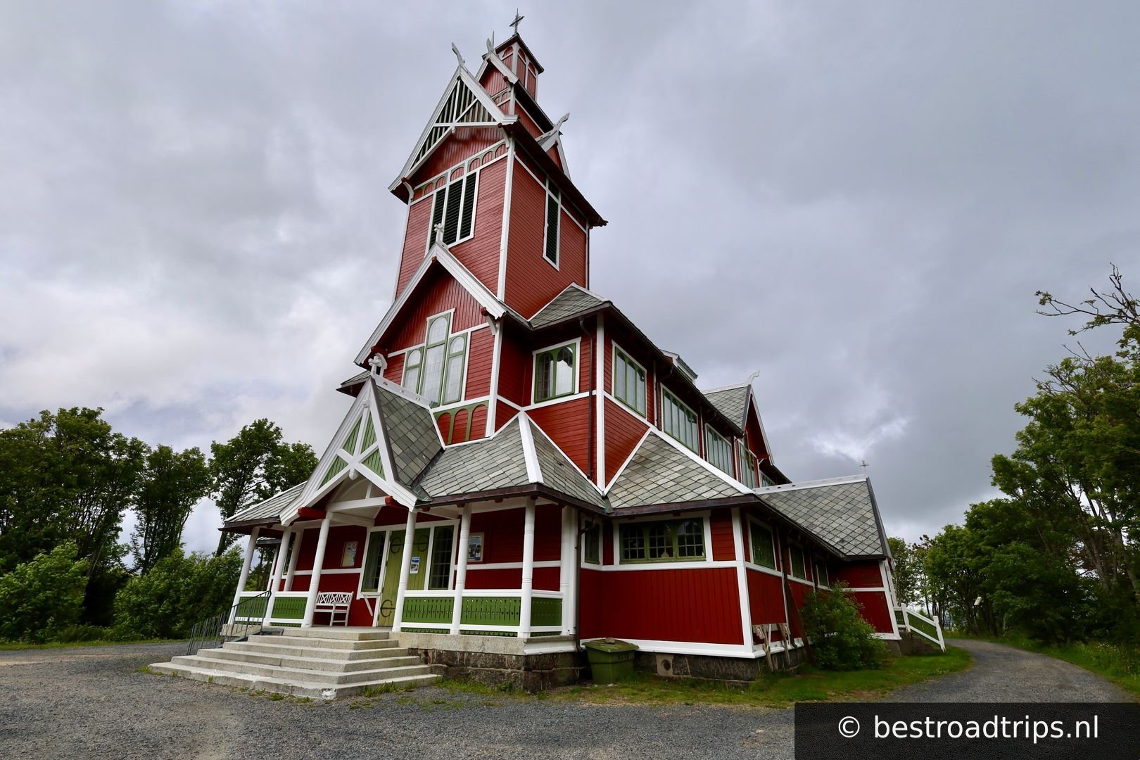
a very unique church worth a visit.

68.1184°N, 13.5539°EClick to zoom on map →
16
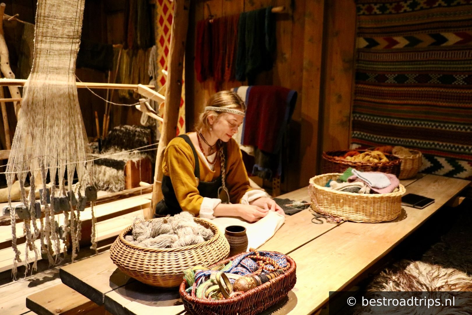
Lofotrmuseet - Viking Museum

Lofotrmuseet - Viking Museum

🚻 Restroom🅿️ Parking

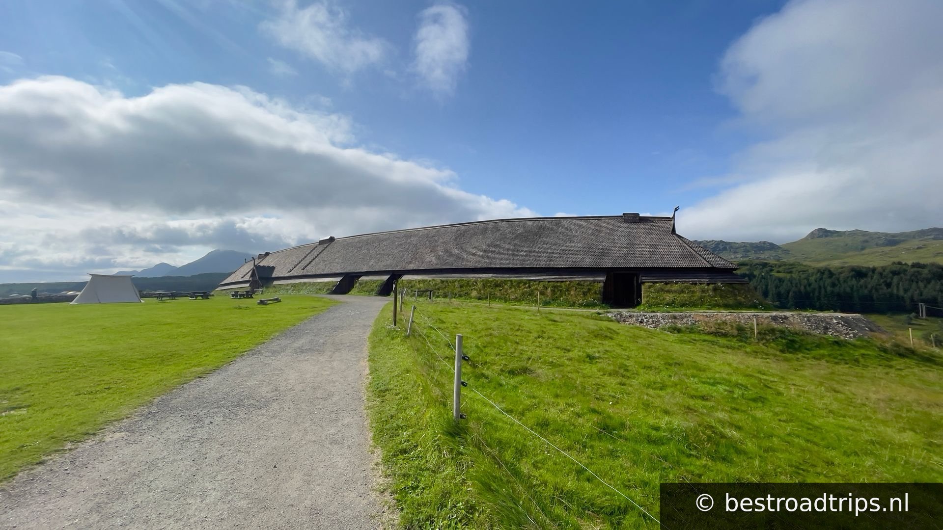
https://www.museumnord.no/en/our-venues/lofotr-viking-museum/ About 25 euro for an unique experience.

68.2453°N, 13.7575°EClick to zoom on map →
17
Torvdalshalsen

Torvdalshalsen

🚻 Restroom🅿️ Parking

Another great stop with a view

68.2632°N, 13.8271°EClick to zoom on map →
18
Uttakleiv stranda

Uttakleiv stranda

🅿️ Parking

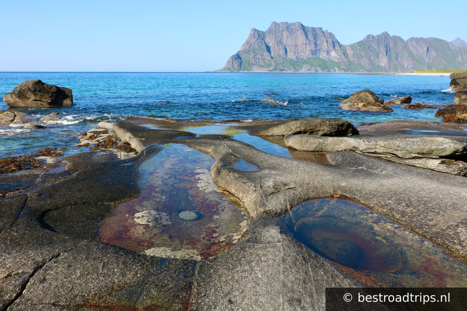
This beach is known for its amazing rock beach. The famous dragon eyes are located here. Parking costs money, Its not expensive. Just pay at the gate.

68.2095°N, 13.5018°EClick to zoom on map →
19
Hauklandstranda

Hauklandstranda

🚻 Restroom🅿️ Parking

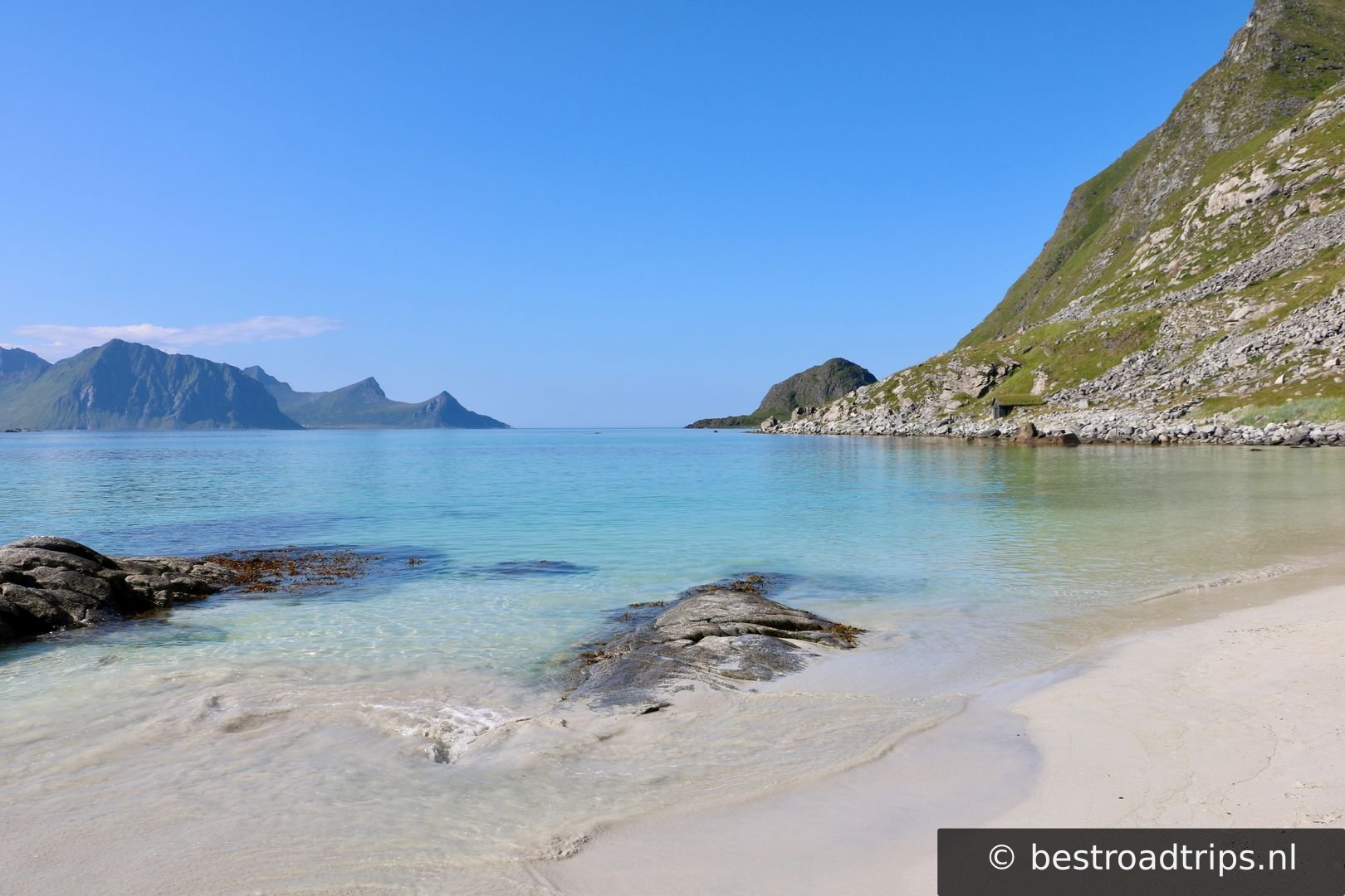
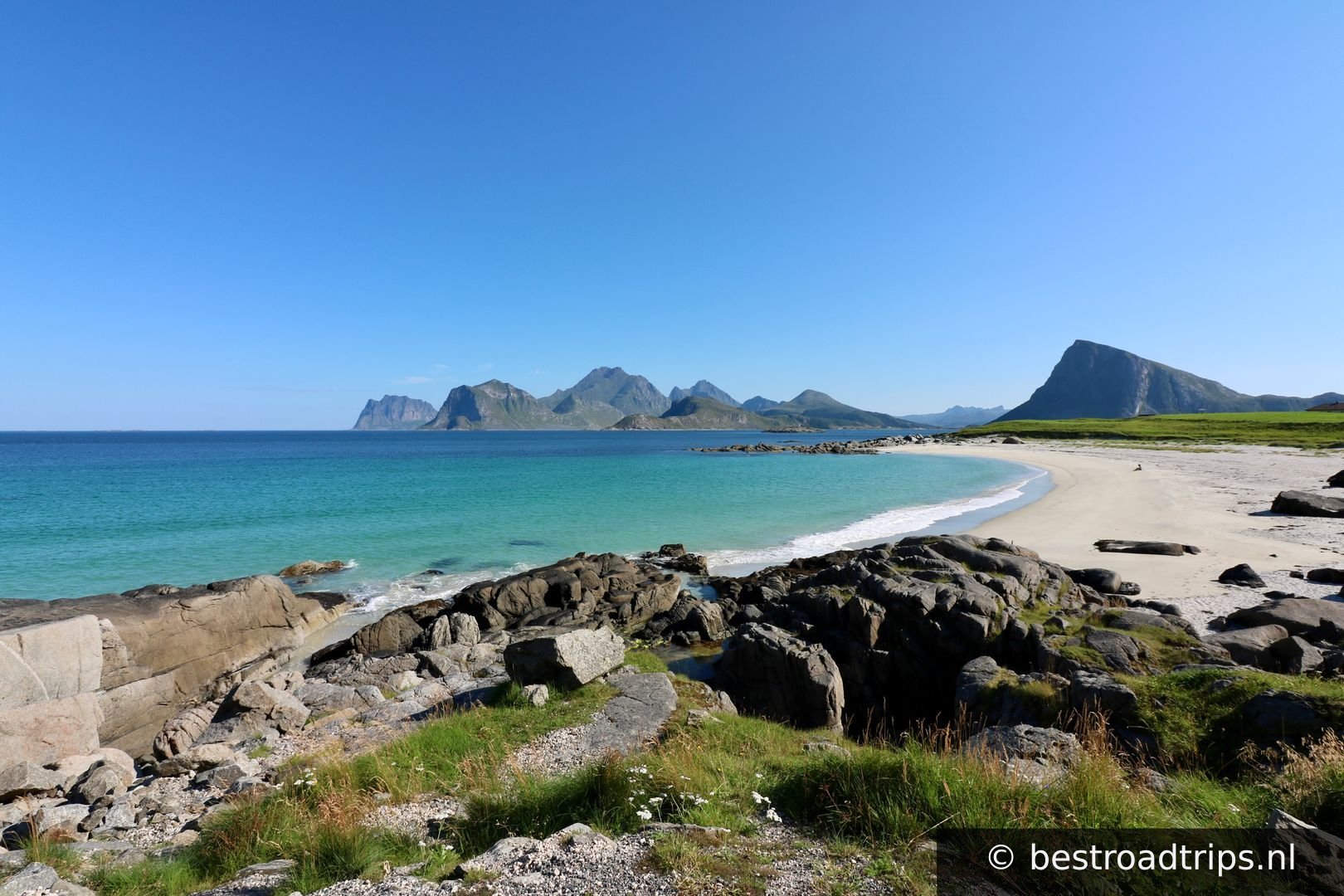
Turquoise blue water check, yellow sand? check. Deceiving cold water? check! It also has a nice restaurant with view. Parking also costs money.

68.1993°N, 13.5331°EClick to zoom on map →
20
Skreda

Skreda

🚻 Restroom🅿️ Parking

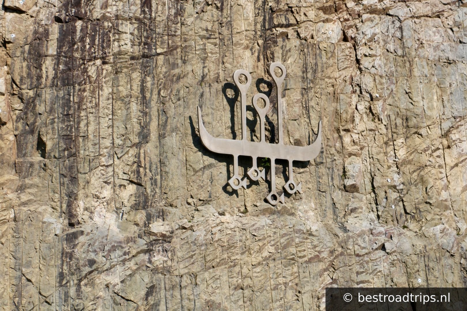
A viking sign to the wall and a pleasant stop with toilet.

68.1494°N, 13.5059°EClick to zoom on map →
21
Nusfjord

Nusfjord

🚻 Restroom🅿️ Parking

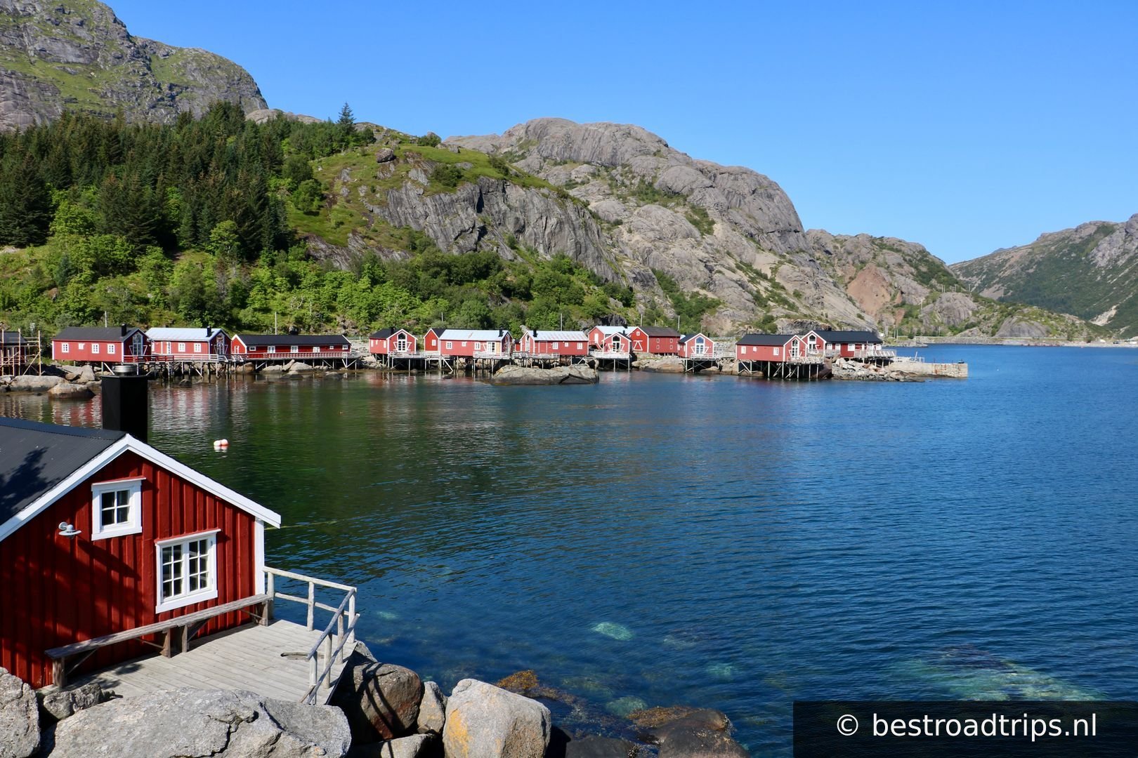
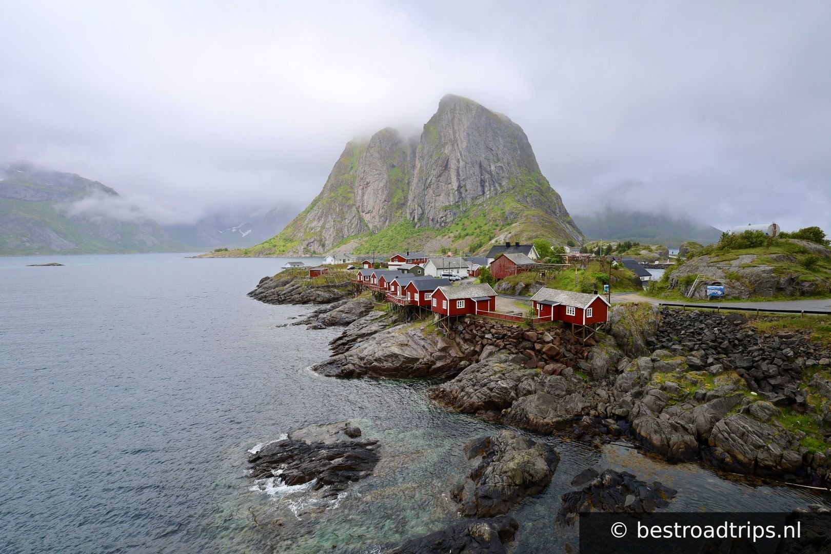
You need to pay to park and to visit this villiage but if you like to make pictures of those famous Norwegian red and yellow houses this is the place to be!

68.0353°N, 13.3481°EClick to zoom on map →
22
Ramberg stranda

Ramberg stranda

🅿️ Parking

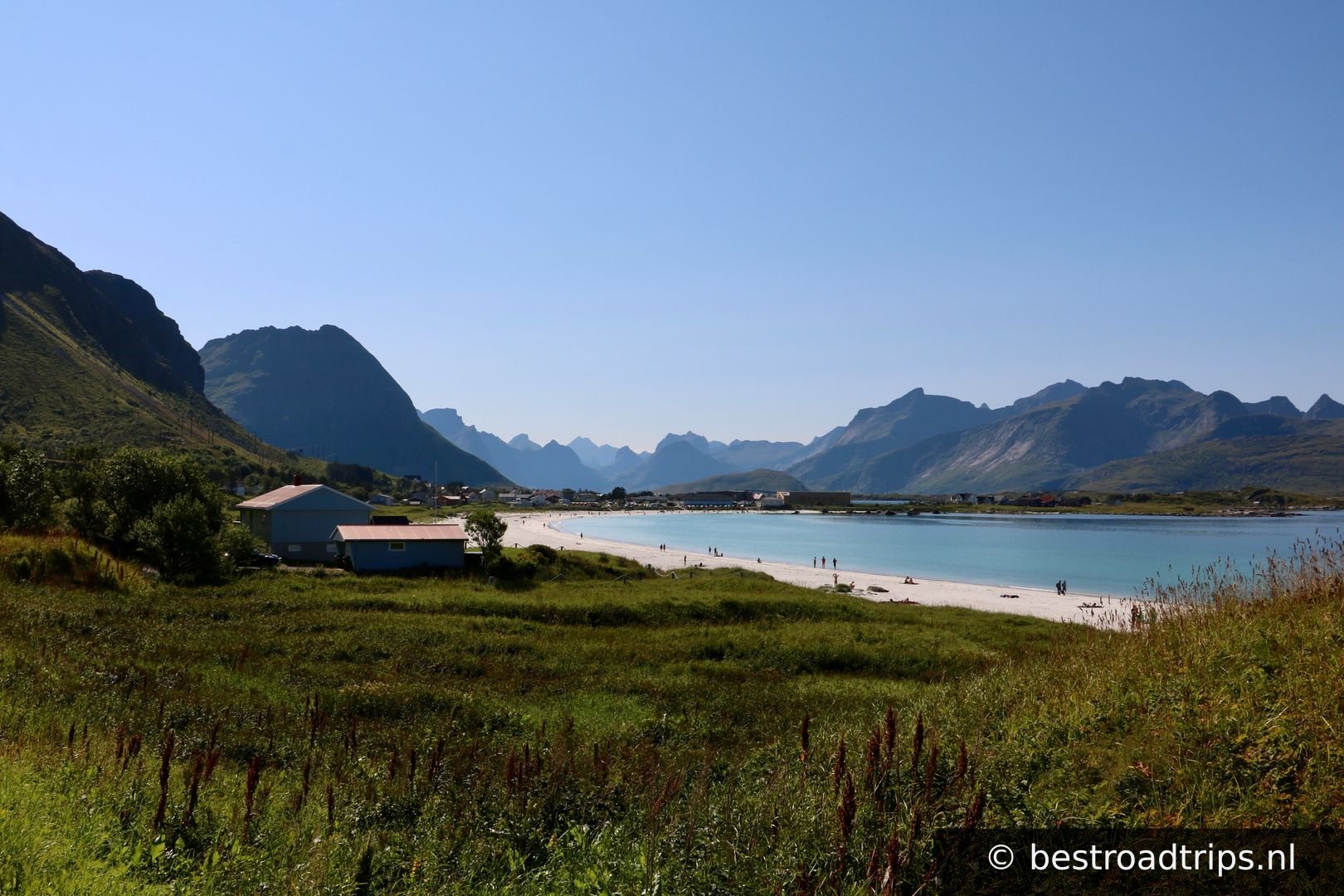
The parkinglot is small. There are a few other spots but you will have to pay for those.Its worth stopping here because this beach is stunning!

68.0984°N, 13.2455°EClick to zoom on map →
23
Photostop

Photostop

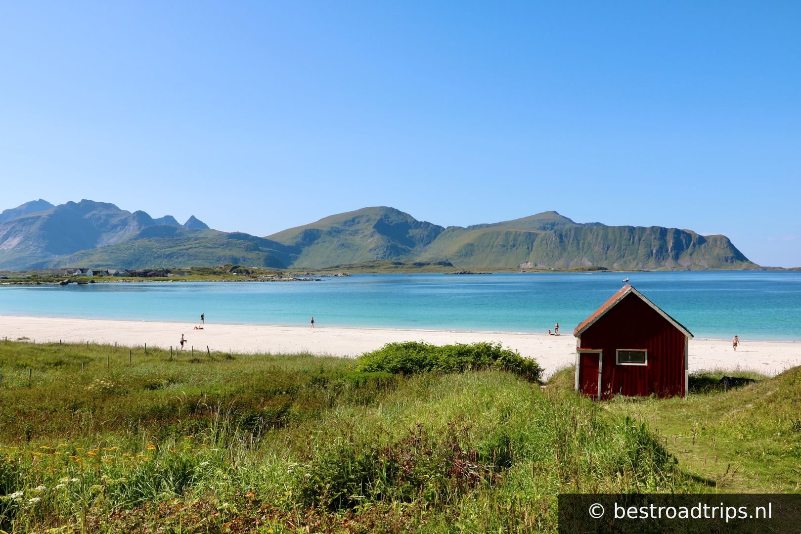
You can park and walk from the previous stop. This is the famous red house at the beach.

68.0972°N, 13.2458°EClick to zoom on map →
24
Stop to view the Fredvang bridges

Stop to view the Fredvang bridges

🅿️ Parking

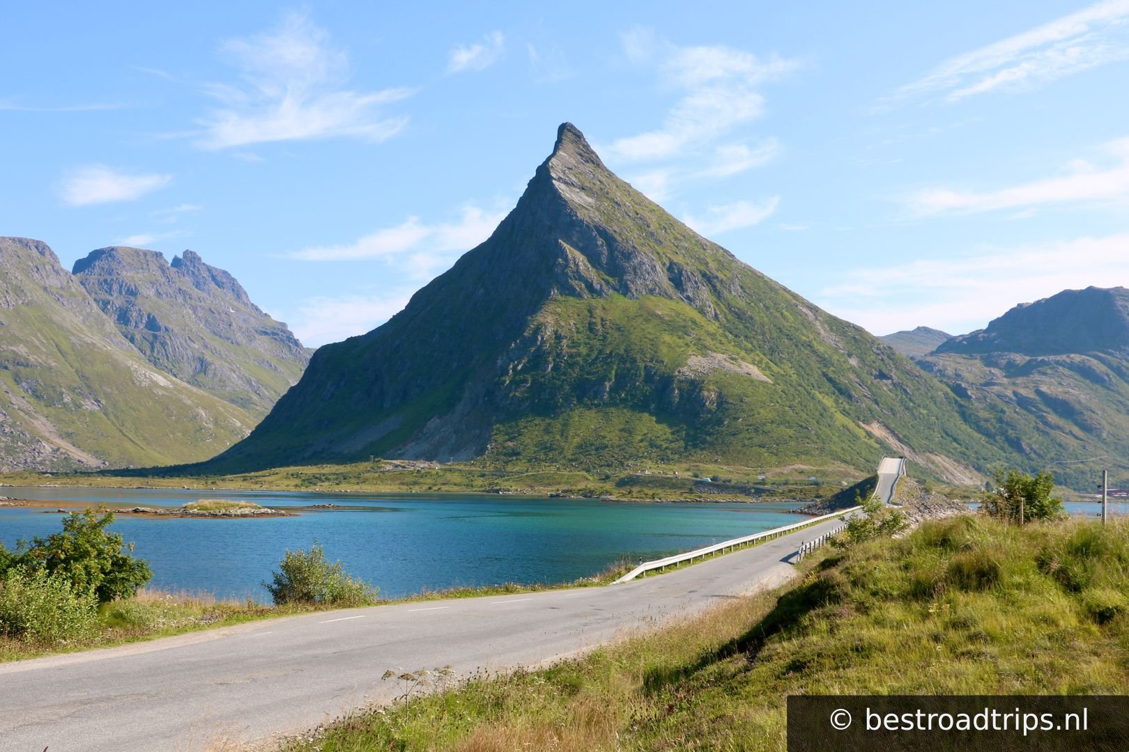
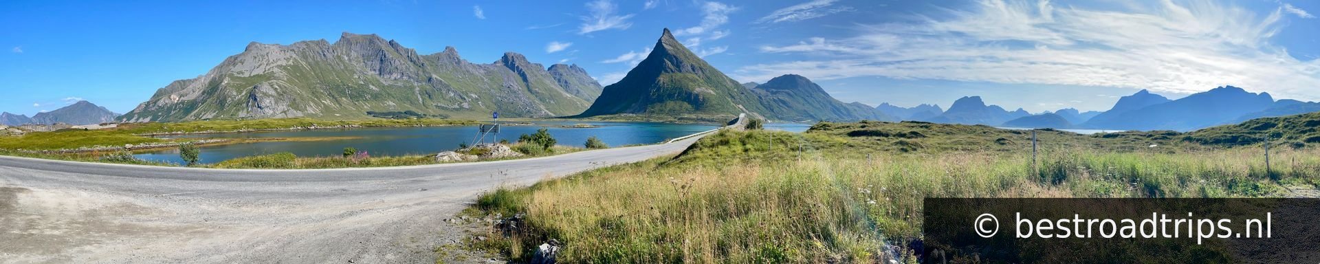
Look up Lofoten and this will be one of the pictures you will see. The amazing 2 bridges and a mountain in the background.

68.0743°N, 13.2035°EClick to zoom on map →
25
Another parking spot for the famous Fredvang bridges

Another parking spot for the famous Fredvang bridges

🅿️ Parking

Park between the bridges for a nice photo spot of the bridges and mountain.

68.0798°N, 13.1935°EClick to zoom on map →
26
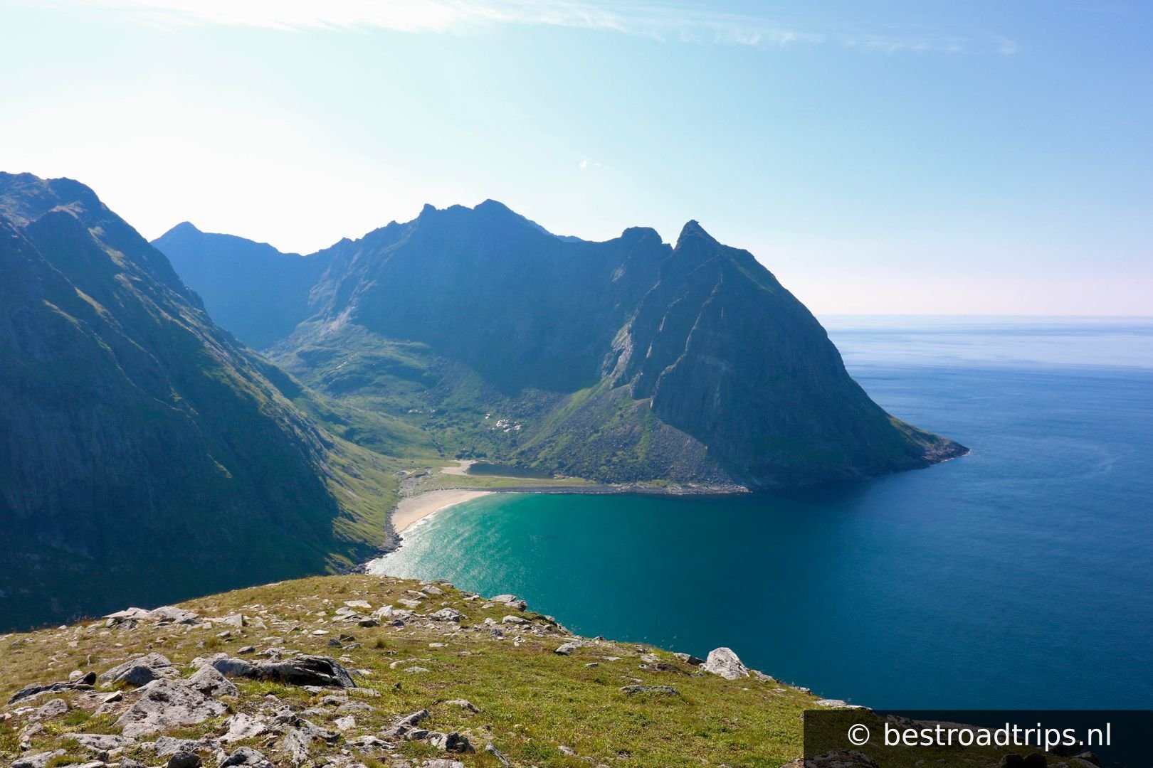
Park here if you want to hike up Ryten for another great view of Kvalvika stranda

Park here if you want to hike up Ryten for another great view of Kvalvika stranda

🚻 Restroom🅿️ Parking

Not easy but its doable. amazing view though!

68.0889°N, 13.1397°EClick to zoom on map →
27
Hamnøy

Hamnøy

🅿️ Parking

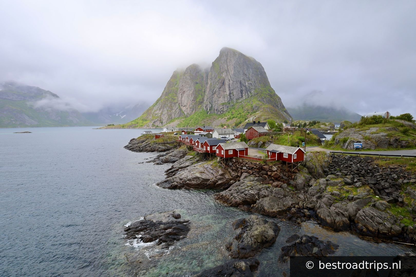
There are a few parking places before the bridge. The bigest one is a bit before the bridge around the corner. Park and walk up the bridge for THE most famous picture of the Lofoten. Just search on google or check out the picture of this stop.

67.9455°N, 13.1343°EClick to zoom on map →
28
📍

Reinebringen parking

🚻 Restroom🅿️ Parking

Want to go see the best view of the Lofoten? Hike Reinebringen. I havent been able to do so. It was clouded when i was there and i am not sure if i should try it. Its not easy and has lots of stairsteps.

67.9281°N, 13.0835°EClick to zoom on map →
29
Å

Å

The last village of the Lofoten. There is a big parkinglot at the end of the road. You will have to pay and it can be very busy.

67.8800°N, 12.9780°EClick to zoom on map →
30
Why go directly to Bodø?

Why go directly to Bodø?

🅿️ Parking

Væroy is a very nice island that you can visit with a car ferry. I am not sure if its still free but Moskenes --> Bodø costs money and is a 4 hour trip while Moskenes --> Væroy --> Bodø was free for me. Check: https://www.torghatten.no/en/our-routes/18-782?from=NSR:StopPlace:47301&to=NSR:StopPlace:49490&tab=price

67.6653°N, 12.6951°EClick to zoom on map →
31
Walk Håen

Walk Håen

🅿️ Parking

Its \\\\"only\\\\" 3 km but it is stieep and exhausting. Worth it for the view!

67.6726°N, 12.6561°EClick to zoom on map →
32
Small island

Small island

🅿️ Parking

Small island but even the few roads are amazing! There is one road to the other side and its worth it. It was heavily damaged though.

67.6902°N, 12.6791°EClick to zoom on map →
🔒 Login for GPX

User ratings

No ratings yet — be the first!
Find hotels near Lofoten
★★★★★ Millions of reviews · Free cancellation available
Search hotels →