Route

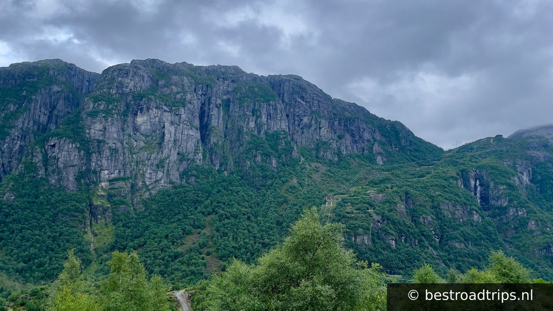
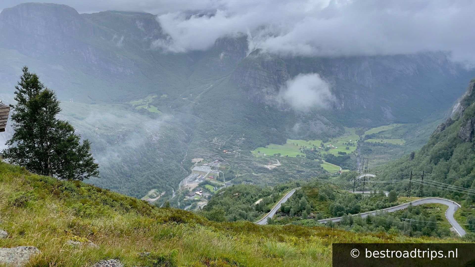
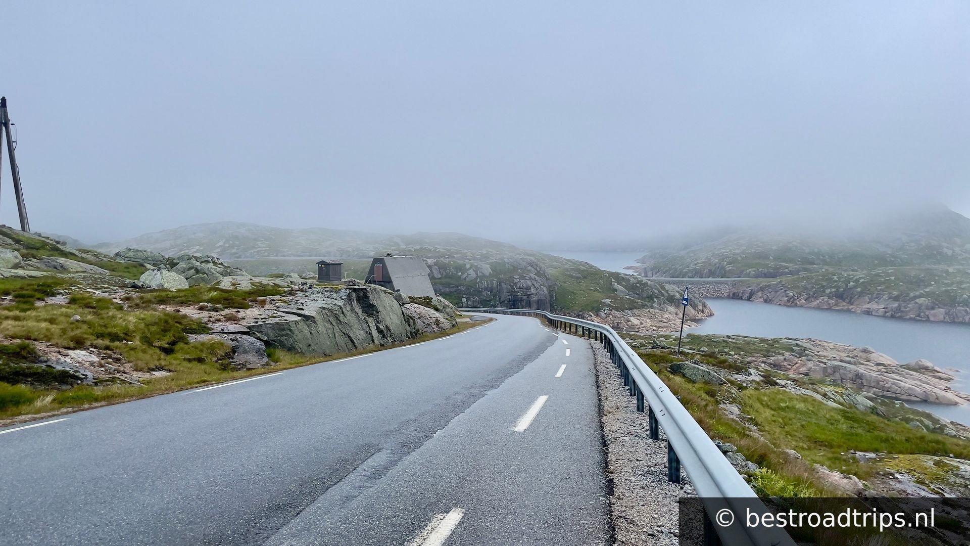
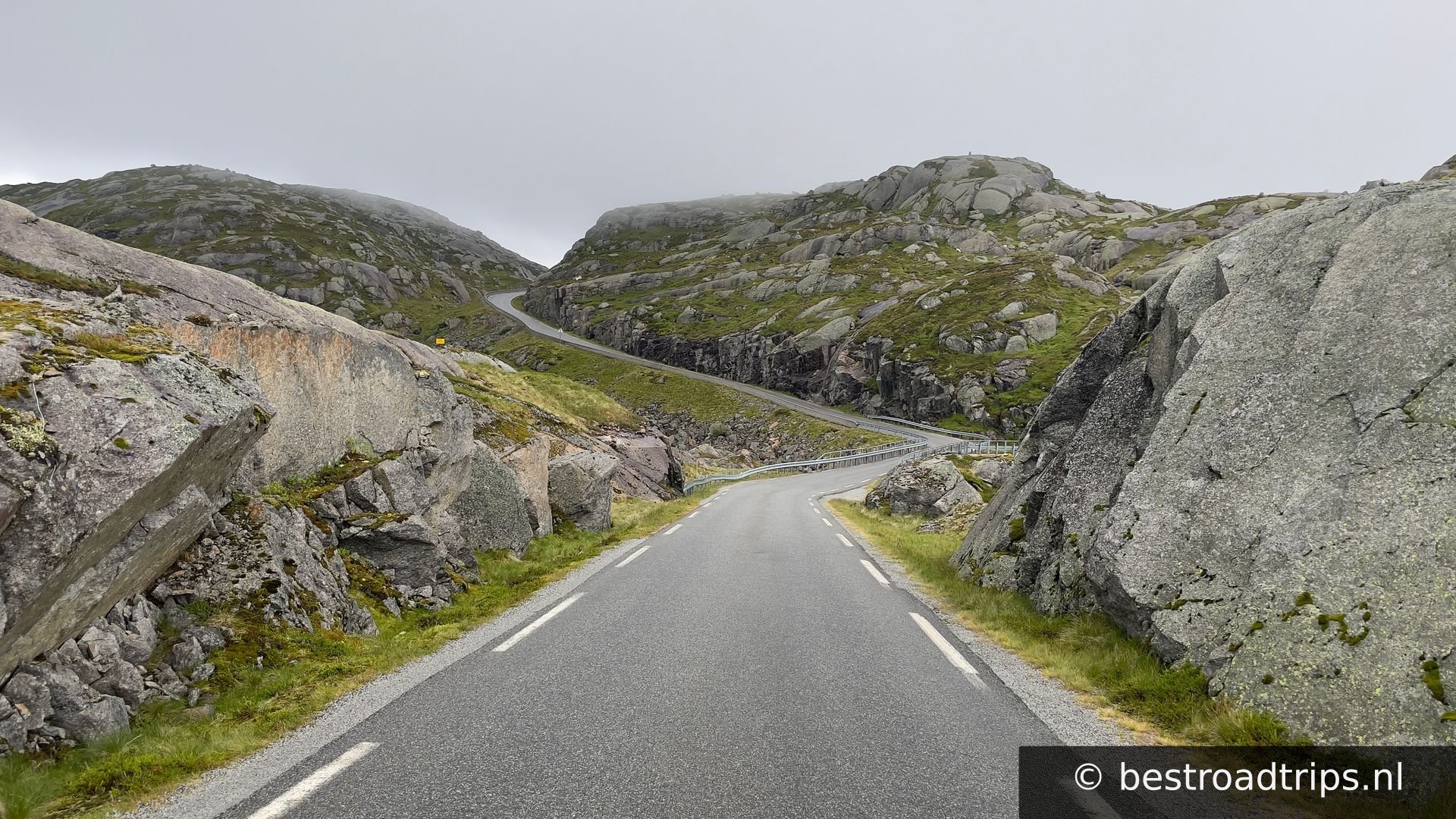
Lysefjord and Lysebotnvegen

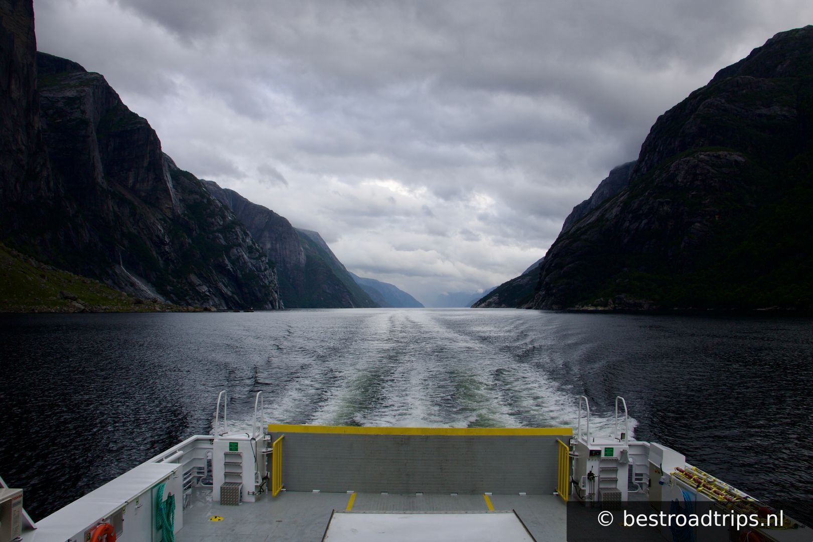
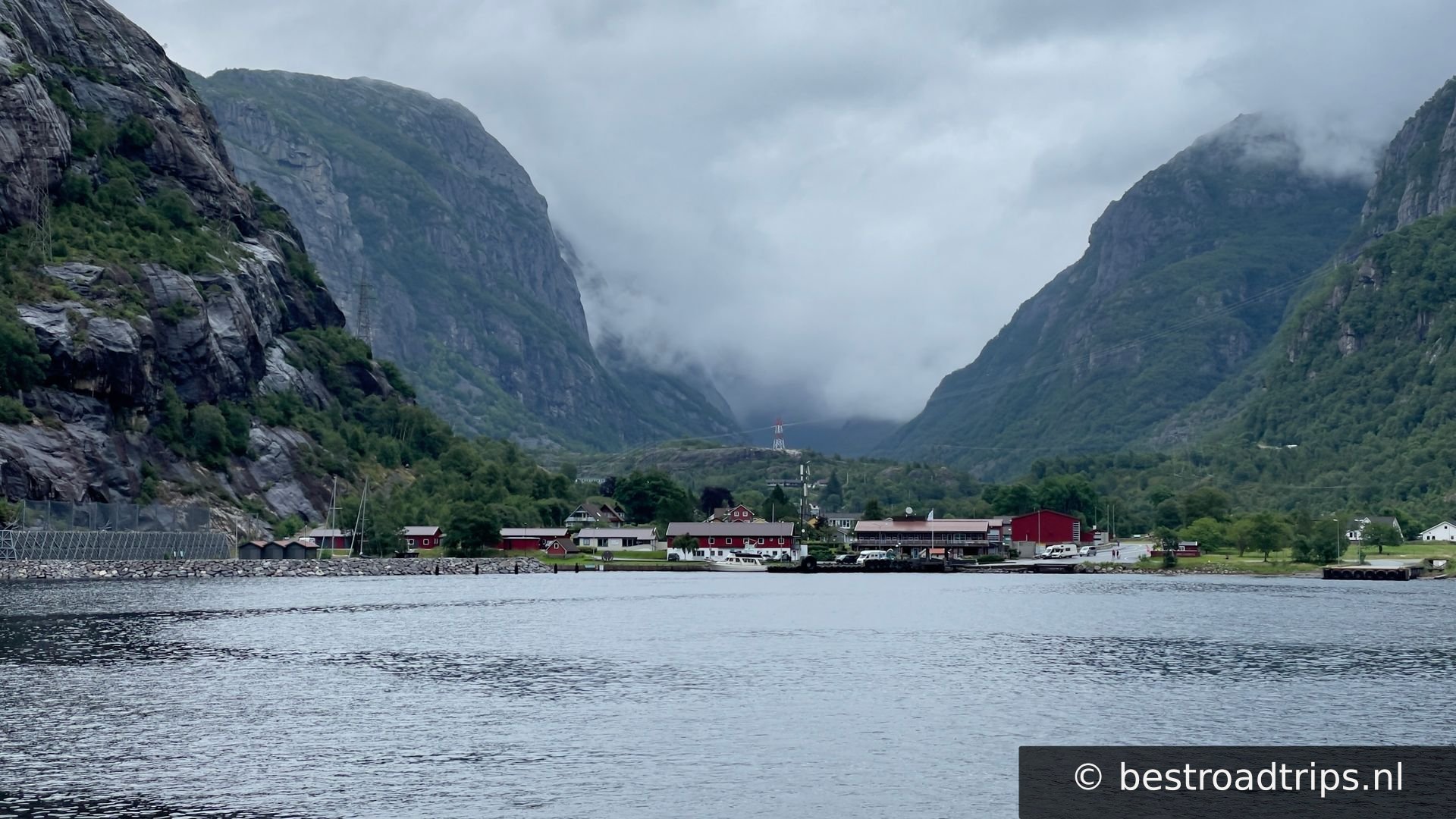
Lysefjord or Lysefjorden[1] is a fjord located in the Ryfylke area in Rogaland county in southwestern Norway. The 42-kilometre (26 mi) long fjord lies in Strand Municipality and Sandnes Municipality, about 25 kilometres (16 mi) east of the city of Stavanger.

Country🇳🇴 Norway
Duration🕐 1
Distance📍 160 km
Road quality🟡 Good
Crowd level🟢 Quiet
Website🌐 Visit
Expert rating
5— A true hidden gem!

About this route

The Lysefjord is one of the best fjords for hiking. Here, you will find the iconic natural landmarks such as Preikestolen, Kjerag and Flørli, as well as a wide range of lesser-known hiking gems.

To make it easy, we have developed some recommended itineraries for you, as well as a travel planner. Check out the multi-day Lysefjorden Rundt Trail and our top-10 day hikes. Or what about cycling around the Lysefjord? Breathtaking scenery, old farms and exciting outdoor adventures are waiting for your visit.
My notes

This is a fjord of adventures! Lots of challenges you can do like Florli4444 (4444 steps up), cycle or drive Lysebotnvegen or hikes to Preikestolen and Kjeragbolten

Stops along the way

1
📍

Start

🅿️ Parking
58.8938°N, 6.0566°EClick to zoom on map →
2
View of Preikestolen from below

View of Preikestolen from below

🚻 Restroom🅿️ Parking
58.9498°N, 6.1328°EClick to zoom on map →
3
Lysteborn

Lysteborn

🚻 Restroom🅿️ Parking
59.0538°N, 6.6467°EClick to zoom on map →
4
Start Lysebotnvegen

Start Lysebotnvegen

59.0566°N, 6.6677°EClick to zoom on map →
5
Kjeragbolten

Kjeragbolten

🅿️ Parking
59.0458°N, 6.6517°EClick to zoom on map →
6
📍

58.8848°N, 6.0136°EClick to zoom on map →
🔒 Login for GPX

User ratings

No ratings yet — be the first!
Find hotels near Lysefjord and Lysebotnvegen
★★★★★ Millions of reviews · Free cancellation available
Search hotels →